This easy-to-use application visualizes your data on the map.
Visualize Data
Step 1
In your computer's file system, locate the file you wish to add to the map. Supported files are ArcGIS shapefiles, images, and a csv file.
CSV files must contain longitude and latitude columns to be displayed correctly. Accepted column names are listed below:
Latitude
- lat
- latitude
- y
- ycenter
Longitude
- lon
- long
- longitude
- x
- scenter
Step 2
Drag and drop your selected file onto the map. If you are using a CSV or shapefile, the application will show and zoom to your data on the map. If you are using an image, the image will be displayed on the map where you drop it.
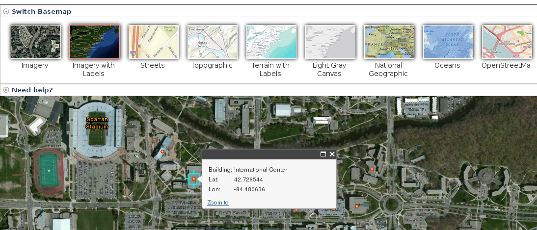
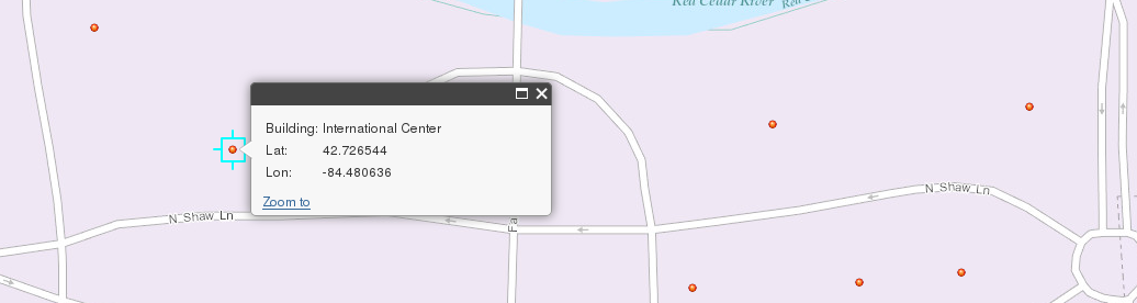
To view information about your individual data points, click on the data point and a popup window will display further information.
Step 3
To display a different set of data, remove the current layer by clicking "Clear". This application can only show one layer at a time.
Basemap
To change the basemap, click on "Switch Basemap" to expand the Basemap panel, then choose your desired basemap.